Preview site — test bookings only. Stripe sandbox payments; Hospitable calendar dates are not blocked. Confirmation emails are sent for real.

Desert Adventures: Joshua Tree & Beyond

Places to eat, hike, & explore

From Maria · Desert Elysium guest guide

Joshua Tree National Park

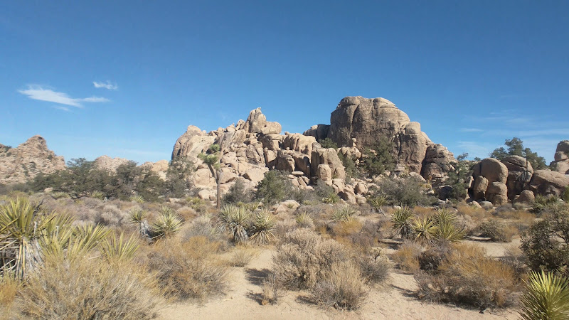
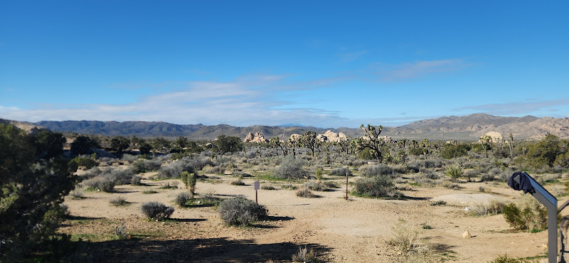
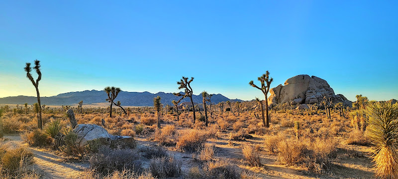
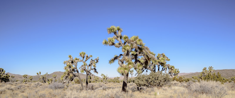
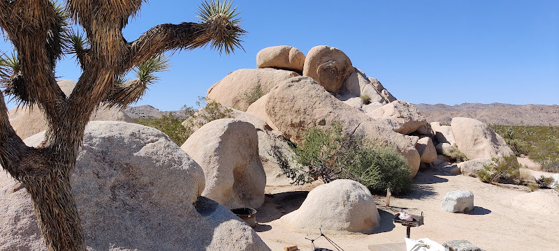
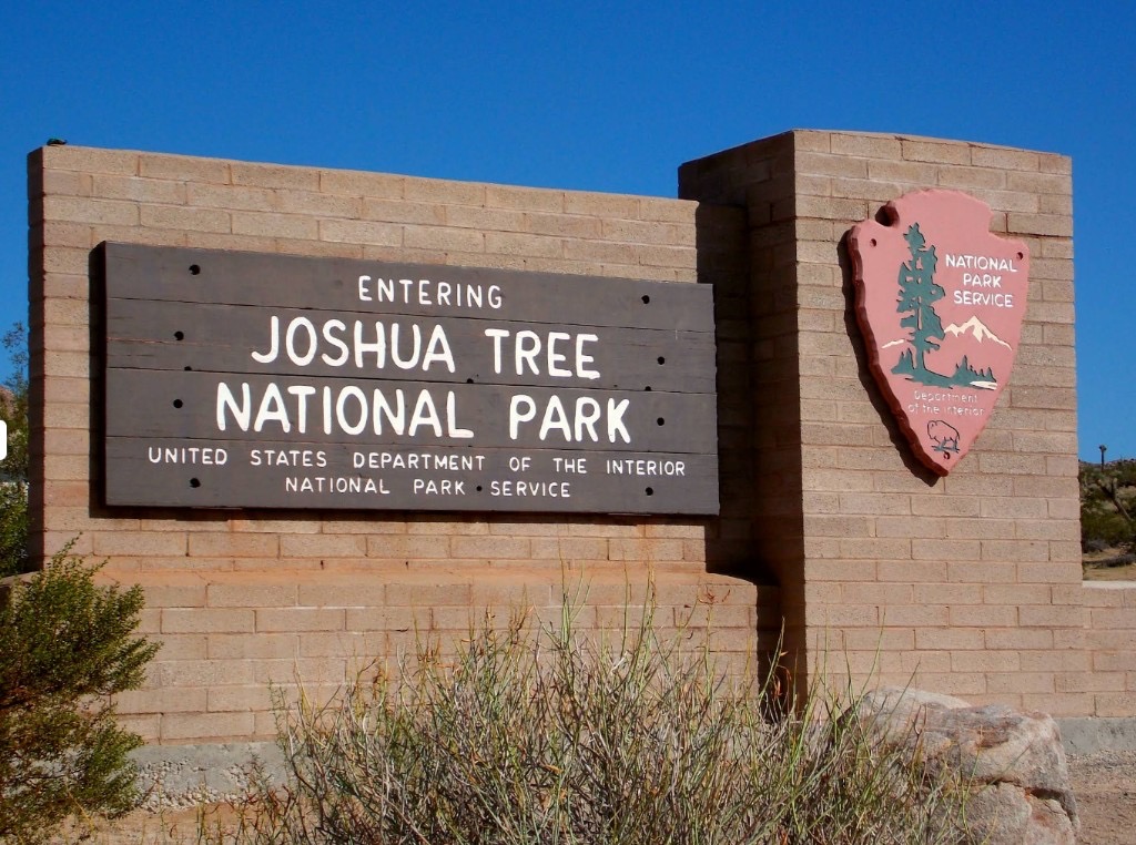
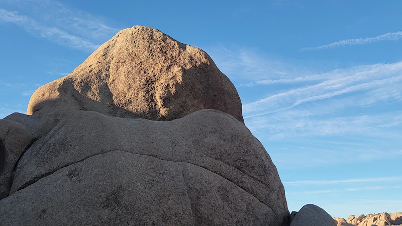
Joshua Tree National Park is a high desert wonderland of granite boulders, yucca forests, and wide-open skies. See the end of this guidebook for packing suggestions to make the most of your visit.

Joshua Tree Visitor Center

Joshua Tree Visitor Center (in town/near west entrance). Address: 6554 Park Blvd, Joshua Tree, CA 92252. What you'll find: rangers/park staff, maps, bookstore, restrooms, water. Best for: stocking up before using the West Entrance. Pro tip: good place to check current trail/road conditions before you drive in.

Open in Google Maps
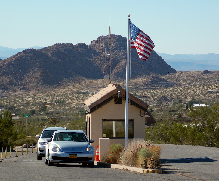
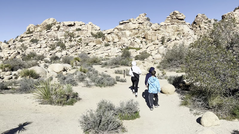
West Entrance Station

West Entrance (closest to Joshua Tree town). Where: Park Blvd ~5 mi south of Hwy 62 & Park Blvd. Best for: fastest access to Hidden Valley, Barker Dam, Keys View. Pro tip: weekends/holidays 8–11am can back up, try the North Entrance if lines are long.

Open in Google Maps

Hidden Valley Nature Trail

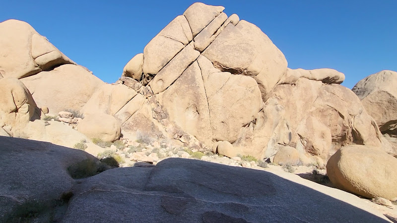
Where: Off Park Blvd near Intersection Rock. Best for: classic scenery with big granite walls and yucca. Trail: 1.0 mi loop (~30–45 min). Amenities: parking, picnic, vault toilets. Pro tip: great first hike from West Entrance.

Open in Google Maps

Cap Rock

Flat 0.4-mile loop among monzogranite and junipers at the Keys View junction; super quick leg-stretch.

Open in Google Maps

Ryan Mountain Trailhead

Where: Ryan Mountain trailhead off Park Blvd (central). Best for: summit hike with 360° views. Trail: 3.0 mi round trip, ~1,000 ft elevation gain (1.5–3 hrs, moderate). Amenities: parking, vault toilets. Pro tip: Very exposed. Start early and avoid peak heat.

Open in Google Maps

Hall of Horrors Area

Where: pullout on Park Blvd between Ryan and Sheep Pass. Best for: short slot-style corridors for photos and playful exploration. Trail: short informal paths near the lot. Amenities: small parking area; nearest toilets at Ryan or Sheep Pass. Pro tip: weekdays are calmer for photography.

Open in Google Maps

Barker Dam

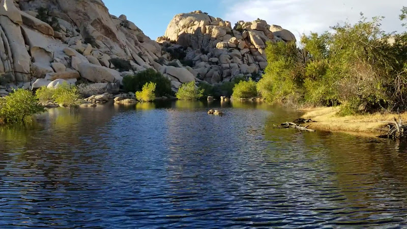
Where: off Barker Dam Rd near Hidden Valley area. Best for: petroglyphs and historic dam with seasonal water. Trail: 1.1 mi loop (~40–60 min). Amenities: parking, vault toilets. Pro tip: water levels vary; mornings are best for wildlife.

Open in Google Maps

Keys View

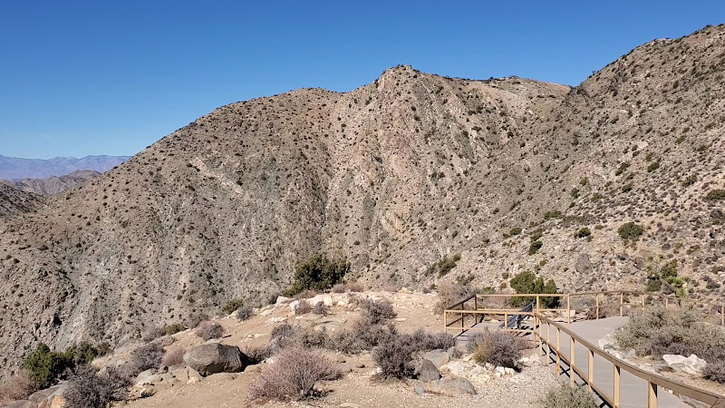
Where: end of Keys View Rd from Park Blvd. Best for: drive-up panorama of Coachella Valley & San Andreas Fault. Trail: short paved overlook (ADA-friendly). Sunset is spectacular, but it can be windy and cool. Bring a layer.

Open in Google Maps

Lost Horse Mine

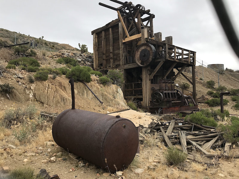
Rolling loop to one of the park’s most intact stamp mills; history plus wide desert views.

Open in Google Maps

Jumbo Rocks

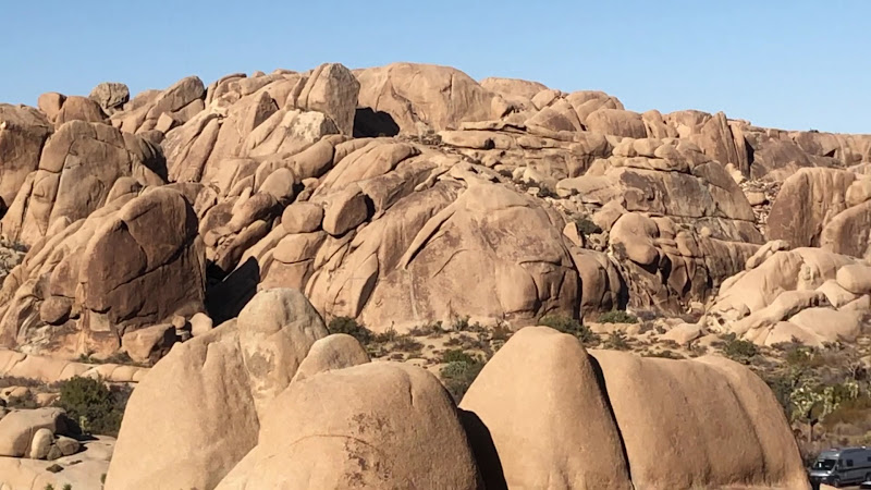
Massive boulder fields around the campground; great roam-around stop for all ages.

Open in Google Maps

Skull Rock

Where: Park Blvd between Jumbo Rocks and Live Oak. Best for: iconic skull-shaped boulder and light scrambling. Trail: 1.7 mi loop or quick roadside stop. Amenities: roadside pullouts; restrooms at Jumbo Rocks Campground. Pro tip: go early/late for easier parking and softer light.

Open in Google Maps

Split Rock Loop Trail

Where: Split Rock picnic area off Park Blvd. Best for: less-crowded loop with classic boulders and views. Trail: ~2.4–2.5 mi loop (1–1.5 hrs). Amenities: parking, picnic tables, vault toilet. Pro tip: Hiking clockwise gives gentler grades and nice morning light.

Open in Google Maps

Arch Rock

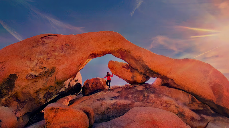
Arch Rock (via Twin Tanks Trailhead). Where: Twin Tanks day-use area near White Tank Campground. Best for: natural arch and nearby Heart Rock. Trail: 1.2–1.8 mi round trip (easy). Amenities: parking at Twin Tanks; toilets at White Tank Campground. Pro tip: bring a headlamp if staying for stargazing.

Open in Google Maps

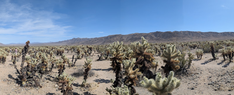
Cholla Cactus Garden

Where: along Pinto Basin Rd (between White Tank and Cottonwood). Best for: sunrise/sunset glow on dense cholla. Trail: 0.25 mi easy loop (~10–20 min). Amenities: parking, interpretive signs, vault toilet. Pro tip: Wear closed-toe shoes; cholla spines stick. A note from your host: This is my favorite place to visit in the park. The scenery is beautiful. You won't regret taking the time to stroll through the chollas around sunset.

Open in Google Maps

Ocotillo Patch

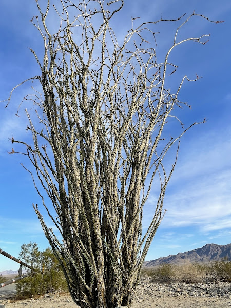
Quick roadside stop; best after rain/spring when ocotillo leaf out and bloom (March–May), otherwise a fast photo.

Open in Google Maps

Cottonwood Spring

Where: ~7 mi north of South Entrance near Cottonwood Visitor Center. Best for: fan palms, birds, winter shade; access to Lost Palms & Mastodon. Trail: 0.1–1.5 mi options (easy). Amenities: parking; restrooms at Cottonwood Visitor Center nearby. Pro tip: nice add-on after Cholla Cactus Garden when entering via I-10.

Open in Google Maps

Cottonwood Visitor Center

Cottonwood Visitor Center (south end). Where: ~7 mi inside the South Entrance on Cottonwood Springs Rd. What you'll find: rangers, maps, exhibits, restrooms, water. Best for: arrivals via I-10 and hikes to Cottonwood Spring, Lost Palms Oasis, Mastodon Peak. Pro tips: last gas at Chiriaco Summit, fill all bottles here, start Lost Palms early, summer heat can be extreme, cell service is weak, check road and trail status after storms, Cholla Cactus Garden is about 12 mi north for sunrise or sunset.

Open in Google Maps

North Entrance Station

North Entrance (Twentynine Palms). Where: ~3 mi south of Hwy 62 on Utah Trail. Best for: Quicker entry when West gate is busy; easy to Skull Rock, Split Rock, Arch Rock, Cholla Cactus Garden. Pro tip: grab maps/water at the Twentynine Palms Visitor Center first, then head straight down Utah Trail.

Open in Google Maps

Joshua Tree National Park Visitor Center

Joshua Tree National Park Visitor Center (Twentynine Palms/near north entrance). Address: 6533 Freedom Way, Twentynine Palms, CA 92277. What you'll find: rangers, exhibits, maps, restrooms, water. Best for: North Entrance visitors. Pro tip: it's about 3 miles south on Utah Trail to the gate.

Open in Google Maps

Sand to Snow National Monument

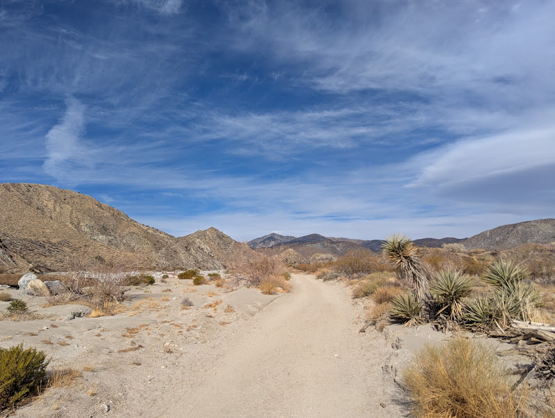
A gorgeous stretch of protected desert to mountain landscape that rises from Joshua Tree's high desert to the slopes of Mt. San Gorgonio. It is perfect for an easy half-day escape with oases, broad canyons, and big views, with longer hikes available if you want to wander farther.

Whitewater Preserve

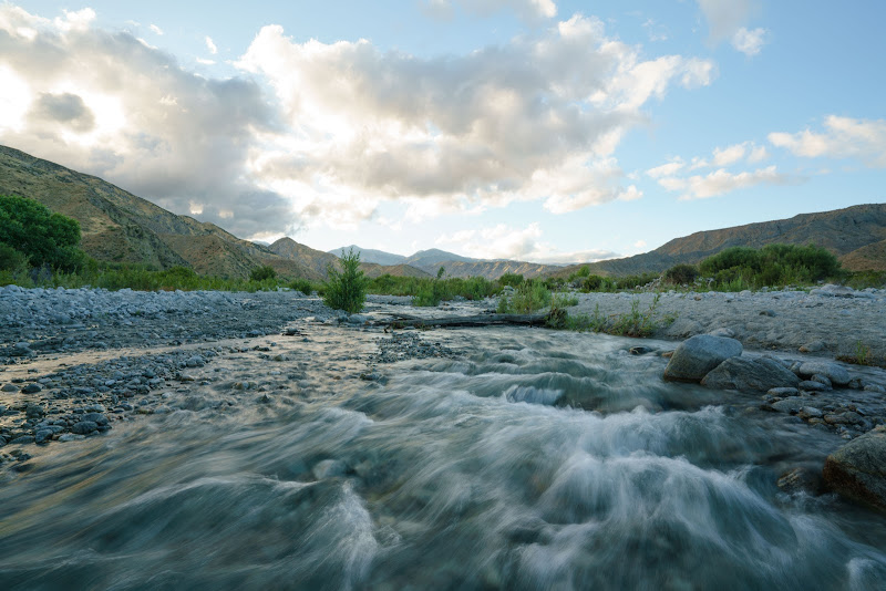
Whitewater Preserve (gateway into Sand to Snow). Vibe: dramatic canyon with a year-round stream, picnic spots, and loop trails to overlooks and the PCT, very family friendly. Drive from Joshua Tree town: ~45 to 50 minutes via CA 62 west to I 10 west to Whitewater Canyon Road, paved all the way. Amenities: visitor center (typically 8 to 5), restrooms, picnic areas, potable water, easy parking. Trails: short riverside loops with options toward the PCT and nearby viewpoints. Tips: seasonal stream crossings can be splashy, bring extra water and solid sun protection.

Open in Google Maps
Big Morongo Canyon Preserve

Big Morongo Canyon Preserve (inside Sand to Snow). Vibe: lush oasis with shady boardwalks, palms, and excellent birding, easy for all ages. Drive from Joshua Tree town: ~20 to 25 minutes via CA 62 west to Big Morongo Canyon Road. Amenities: parking, vault restrooms, shaded picnic nooks, well signed trails. Trails: ¼–2 mile loops on boardwalk and packed dirt, plus longer out and back into Big Morongo Canyon. Tips: stay on the boardwalks, bring water even for short loops, it often feels cooler than Joshua Tree by mid day.

Open in Google Maps
Mission Creek Preserve

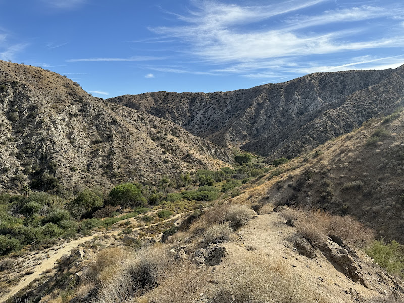
Mission Creek Preserve (inside Sand to Snow). Vibe: wide scenic canyon with the historic Stone House and connections to the PCT, remote feel without a long drive. Drive from Joshua Tree town: ~35 to 40 minutes via CA 62 west to North Indian Canyon Drive to Mission Creek Road, last 1 to 2 miles are graded dirt when dry. Amenities: parking, restrooms, picnic tables; Stone House area has flush toilets and potable water (vehicle access often by advance request, otherwise about a 1.5 mile walk from the gate). Trails: easy canyon walking with links to the PCT for longer hikes. Tips: after storms the dirt approach may close, check current conditions before you go.

Open in Google Maps
Things to do around town

The high desert towns surrounding Joshua Tree offer a mix of local markets, vintage shops, art galleries, and eclectic attractions. From Saturday mornings at the farmers' market to browsing quirky boutiques or visiting unique landmarks, there's always something to explore beyond the park itself.

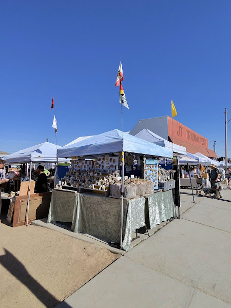
Joshua Tree Certified Farmers' Market

Saturdays 8:00 am to 1:00 pm year round in downtown Joshua Tree along Hwy 62 between Hillview Rd and Sunset Rd next to Joshua Tree Health Foods and Natural Sisters. Expect local produce, baked goods, flowers, and artisan items. Arrive before 10:00 am for easier parking.

Open in Google Maps
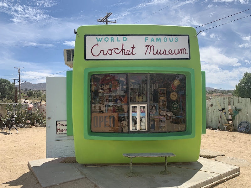
World Famous Crochet Museum

Tiny, delightfully quirky photo op filled with crocheted critters. Quick stop with big smiles. Great between coffee and shopping on the strip.

Open in Google Maps
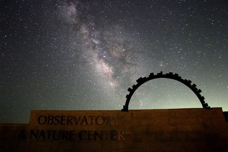
Sky's The Limit Observatory and Nature Center

Volunteer stargazing nights near the north entrance on Saturdays closest to the new moon. Check the schedule and reserve. Dark skies here are fantastic.

Open in Google Maps
Gubler Orchids Inc.

A working desert greenhouse with rows of blooming orchids and specialty plants. Easy, mellow stop and a cool place to wander on hot days. Optional tours.

Open in Google Maps

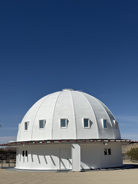
The Integratron

A mid-century wooden dome famed for super-soothing sound baths in a one-of-a-kind acoustic space. Book well ahead, sessions fill fast. Planning tip: Giant Rock and Gubler Orchids are both close to The Integratron in Landers.

Open in Google Maps
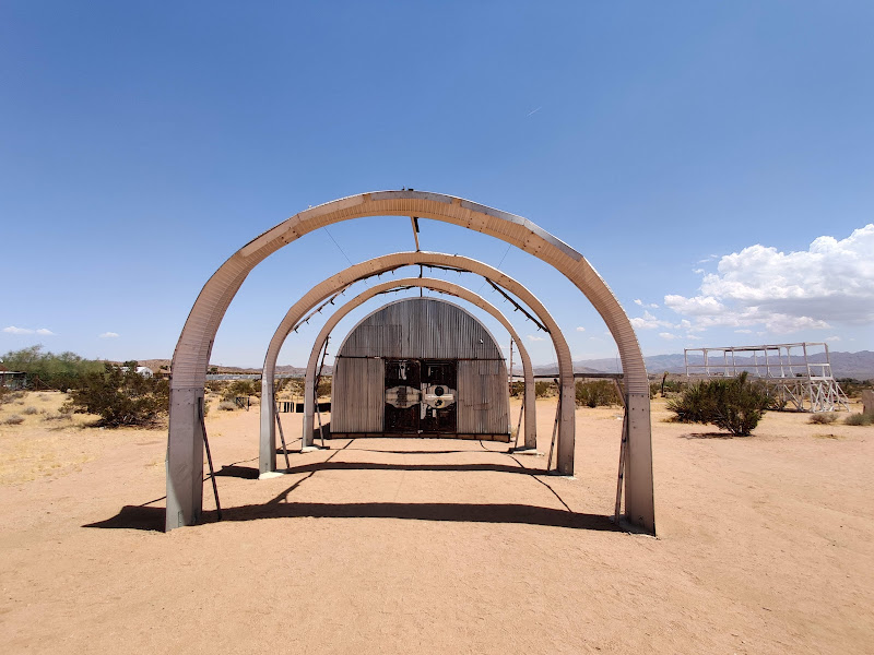
Noah Purifoy Outdoor Desert Art Museum

Ten acres of open air assemblage art built from found materials. Free, dawn to dusk. Walk slowly and please do not climb the artworks.

Open in Google Maps
“Transmission” Sculpture by Daniel Popper

Striking desert art installation — a popular photo stop in the Joshua Tree area.

Open in Google Maps
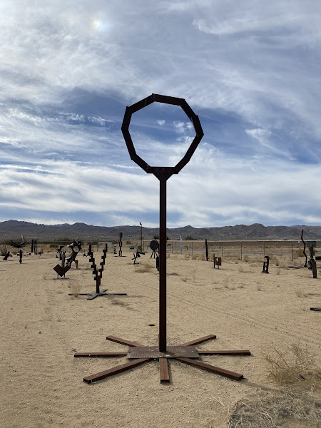
Simi Dabah Sculpture Foundation

Open Saturdays 9:00 am to 4:00 pm. Stroll more than 8 acres of welded steel sculptures made from reclaimed industrial metal. Free to browse and pieces are available for purchase, with proceeds supporting the foundation. Location: 5255 Sunfair Road, Joshua Tree.

Open in Google Maps
Krblin Jihn Cabin

Daylight hours. Free outdoor art stop from Eames Demetrios' Kcymaerxthaere (ky-MARE-icks-theer) project. Weathered homesteader cabin with plaques that tell a playful alternate history. From Hwy 62 in Joshua Tree, go north on Sunburst Ave, right on Crestview Dr, then right on Border Ave and continue a short distance south. The Kabin will be on your left. Park on the shoulder and be respectful of neighbors.

Open in Google Maps

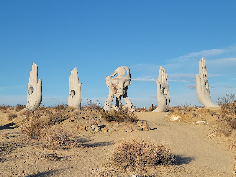
Desert Christ Park

Hillside sculpture garden with large white biblical statues and quiet paths. Free and peaceful. Sunrise and late afternoon are best for photos.

Open in Google Maps
The Station Joshua Tree

Retro service station turned shop and photo spot. Say hi to the giant cowboy out front and browse desert themed gifts.

Open in Google Maps
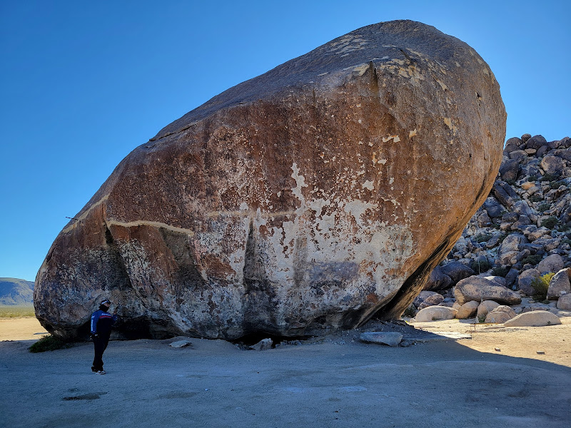
Giant Rock

A massive freestanding boulder with lots of local lore. Access is via sandy dirt roads. Conditions change, so go slow and avoid after big storms.

Open in Google Maps
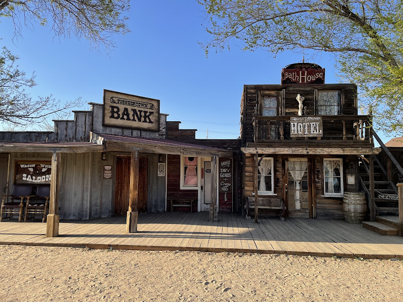
Pioneertown

A historic film set you can stroll any time. Galleries and occasional weekend happenings. Fun photo stop before or after dinner nearby.

Open in Google Maps
Food scene

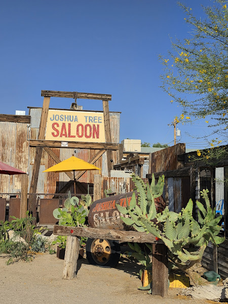
Joshua Tree Saloon

Classic desert saloon vibe with burgers, salads, and a full bar. Good late option when other kitchens have closed. Family friendly. Patio seating with live music on the weekends.

Open in Google Maps
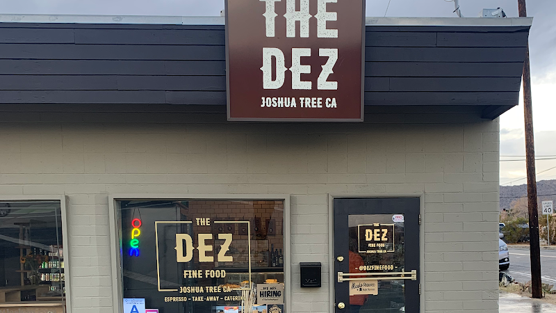
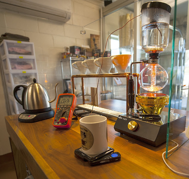
Joshua Tree Coffee Company

Local roastery with strong espresso and cold brew to go. Quick stop on the way to the park. Grab beans for later and a mug to commemorate your trip!

Open in Google Maps
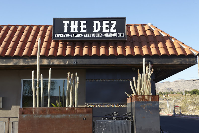
The Dez

Fresh bowls, salads, and sandwiches that travel well into the park. Good mix of vegan and gluten-free friendly options.

Open in Google Maps
The Big DEZ

One is none and two is one! All the same great options as The Dez's original location, located just next door with spacious indoor seating.

Open in Google Maps
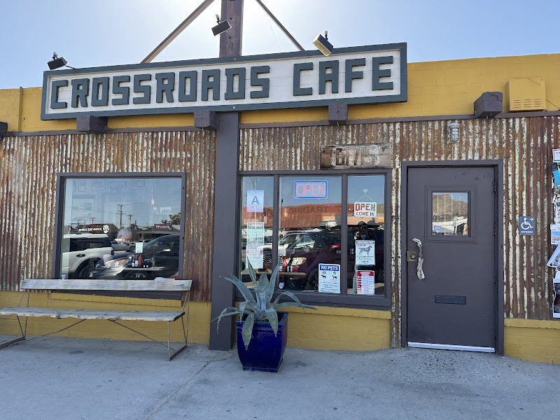
Crossroads Cafe

Hearty, reliable breakfasts and sandwiches with plenty of vegetarian and vegan choices. Go early if you want a sit-down meal; it fills up 8–10 am. Great spot to grab a to-go burrito before the West Entrance.

Open in Google Maps
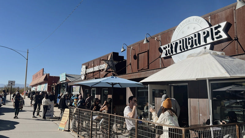
Sky High Pie

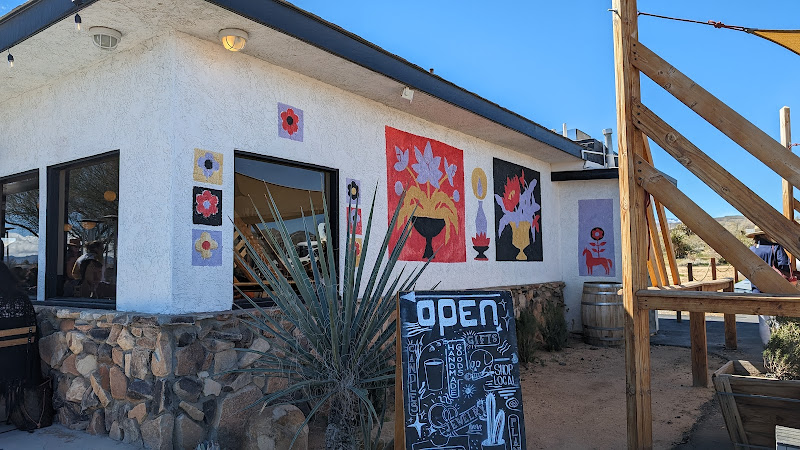
Solid pizzas with vegetarian and vegan options, plus ice cream! Order ahead for pick up.
Open in Google Maps

Pappy & Harriet's

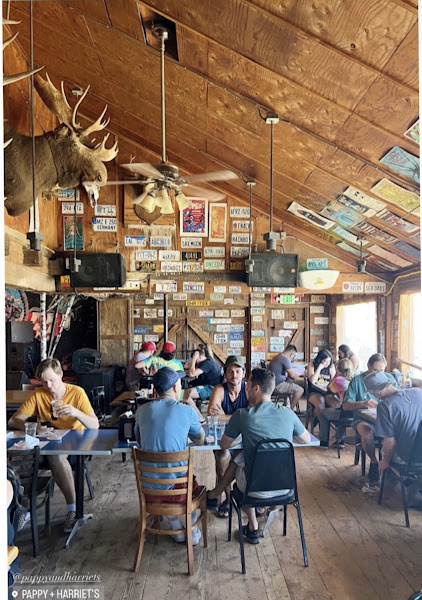
A legendary spot in Pioneertown, blending live music with hearty barbecue in a rustic setting. It's a must-visit for anyone exploring the Joshua Tree area. Check the show calendar and consider a reservation on busy nights for parties of 8+, everyone else is first come, first serve. Family friendly earlier in the evening.

Open in Google Maps

La Copine

Destination lunch spot with a seasonal menu that changes often. Expect a wait at peak times and check their socials for hours. Ideal after a morning loop in the park.

Open in Google Maps

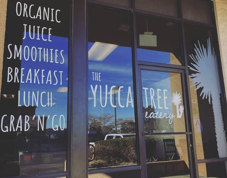
The Yucca Tree Eatery

Local restaurant in Joshua Tree — check hours and menu before you go.

Open in Google Maps

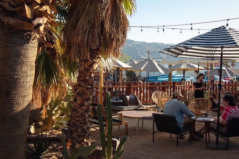
Kitchen in the Desert

Caribbean-inspired plates and great cocktails in a colorful courtyard. Perfect for a relaxed dinner after a North Entrance day. Weekends are popular, so plan ahead.

Open in Google Maps

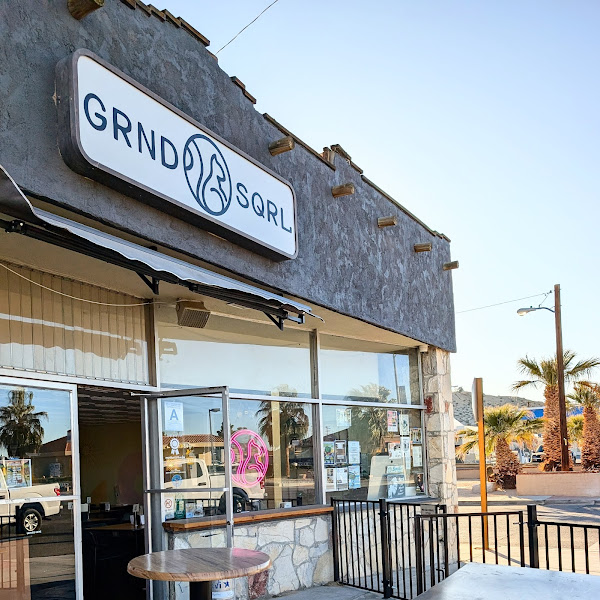
grnd sqrl

Host favorite

Comfort food done right with rotating craft beers. Easy post-park stop near the North Entrance. Portions are generous and the specials board is worth a look. The grilled cheese is out of this world! Try it with the chili!

Open in Google Maps

Groceries & essentials

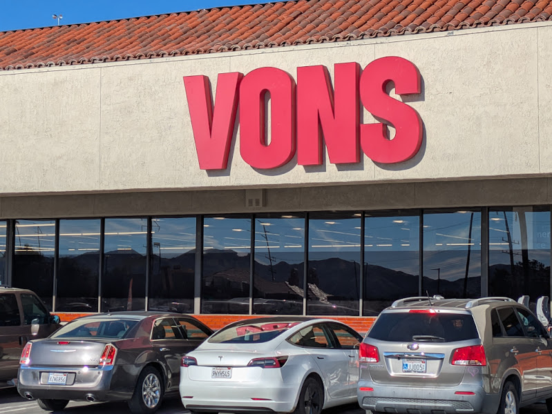
Vons

Preferred grocery stop on the way to the house — shop in person, order pickup, or have groceries delivered to Desert Elysium.

Open in Google Maps

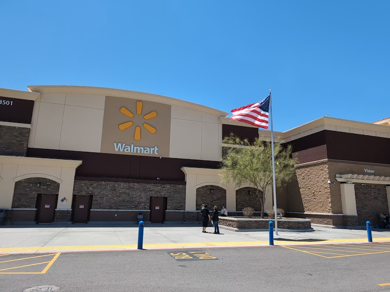
Walmart Supercenter

Another solid option for groceries and general supplies you may not find at a typical grocery store.

Open in Google Maps

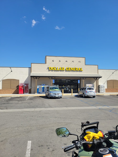
Dollar General

The closest store of any kind to the house. Some grocery options but no fresh produce — more like a convenience store for everyday needs.

Open in Google Maps

Packing suggestions

  • Water: at least 1 gallon per person per day (there is no water available in the park)
  • Sun: hat, sunglasses, SPF 30+ and SPF lip balm
  • Footwear: closed-toe hikers or sturdy sneakers
  • Layers: light long sleeve (sun shirts are best) and a warm layer
  • Download offline maps plus paper park map (no cell service or WiFi in park)
  • Headlamp or flashlight
  • Snacks or lunch plus electrolytes
  • Daypack
  • Small first-aid kit and personal meds
  • Power bank and cable
  • ID and park pass or cash/credit card for entry fees
  • Full tank of gas before entry
  • A bag to pack out all waste

Ready to experience Joshua Tree?

Check Availability